In 1854, the City of Brooklyn annexed the City of
Williamsburgh (still with the mysteriously lost "h" then) and the Town of
Bushwick. These areas became Brooklyn's Eastern District.
Which is confusing. The old Eastern District is the far northern tip of the modern borough, and is now generally referred to as North Brooklyn. I usually think I'm headed straight north when I go from my home in Fort Greene up to
Williamsburg, but as you can see from the map, that isn't quite accurate--it's the same kind of
schematization of a mental map that, as Tom Vanderbilt explained recently in
Slate,
causes people to think San Diego is west of Reno. Most
Brooklynites are hopeless about cardinal directions. Unlike, say, Manhattan or Chicago, the street grid doesn't help--because so many neighborhoods were once their own city or village, Brooklyn has multiple grids that crash together at weird angles. People also tend to orient themselves to Manhattan, and the
Williamsburg Bridge is "uptown" of the Brooklyn Bridge, even though it's at least as geographically accurate to say
that it's to the east. If you can wrap your head around that fact, you've gone a long way toward your black belt in Not Getting Lost In Brooklyn.
This run was a couple of months ago, during the lashing rain storm that brought down so many old trees in the New York area. (You can see my interactive
MapMyRun map
here.) Fortunately, there weren't many trees on my route, because this run took me through the industrial heart of the Eastern District. I had wanted to check out two things. First, I had been vaguely aware that Bogart Street was turning into New York's latest artist/hipster quarter. (As a much cooler co-worker said to me later, "Were you the only guy there without
a beard?" Yes.) And I wanted to see a couple of the more obscure bridges in the city, which cross the
Newtown Creek and its tributary, English Kills.
As you'll guess looking at the blurred photos, I came pretty close to wrecking my camera in the rain. And I didn't notice probably the most interesting buildings on my route: the
Williamsburg Houses. But I'll have more on those in my next post.
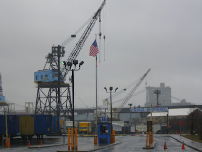
The Navy Yard waterfront
The
pformer Pfizer
pfacilityAll Saints
Apparitions of Our Lady of Guadalupe and the miracle of the roses
Just off Bogart Street
Cafe Orwell
Bogart Street
I should have bought one of those slickers.
For the subtle and discriminating gentleman
English Kills
Metropolitan Ave. Bridge over English Kills
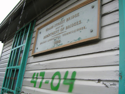
Grand St. Bridge over
Newtown Creek, Brooklyn side
Queens side
Bridge operators shack. (The bridge can swing open.)
Back near the Navy Yard
Washington Avenue
 In 1854, the City of Brooklyn annexed the City of Williamsburgh (still with the mysteriously lost "h" then) and the Town of Bushwick. These areas became Brooklyn's Eastern District.


fascinating ... looks like you were the only one out on the streets that day!
ReplyDelete